
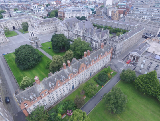

Trinity is to create bird-eye view imagery and video of the College using drone technology. Hundreds of high resolution images and videos were taken of Trinity earlier this month.
Trinity is aiming to use this imagery for a multitude of new projects, including a 3D model of the college.
The data was gathered by a team of engineers who used a drone with a Myriad 2 vision processing unit supplied by Intel. The volumetric accelerator format of this device allowed the images to be compressed once captured enabling the drones to create a more detailed spatial map without consuming the same large amounts of data typically required to produce a 3D map.
Professor Rozenn Dahyot of Trinity’s School of Computer Science and Statistics, and Mary Bourke of the School of Natural Sciences are the academic sponsors of the initiative.
Speaking of the project, Professor Dahyot stated that ‘’up to date 3D virtual environments mimicking our real world is not only essential for urban planning but also for training future artificial intelligence to understand and navigate safely in our world before being embedded into autonomous vehicles.”
Professor Bourke and her research group use remote sensing and drone technology for landscape mapping and natural hazard management on Earth and Mars. Bourke believes that this new data ‘’will permit an assessment of issues such as natural stone decay in urban environments.”
Bourke continued: “In addition, the availability of the topographic models will facilitate training of our graduate and undergraduate students in analysis routines that can be deployed in natural environments.”


